Mosque nearby Niketan Central Jame Mosque
Bangladesh
Mosque nearby Niketan Central Jame Mosque
Niketan Central Jame Mosque
4, Road No 3, 1212, Dhaka, Dhaka District, BD Bangladesh
contacts phone
:
+88
Latitude:
23.7748108
, Longitude:
90.4114898
larger map & directions
read more
nearest Mosque
555 m
Mohakhali TB Gate Jame Mosque
Dhaka
Mosque
read more
589 m
মহাখালি মধ্যপাড়া জামে মাসজিদ
Mohakhali, Dhaka
Mosque
read more
649 m
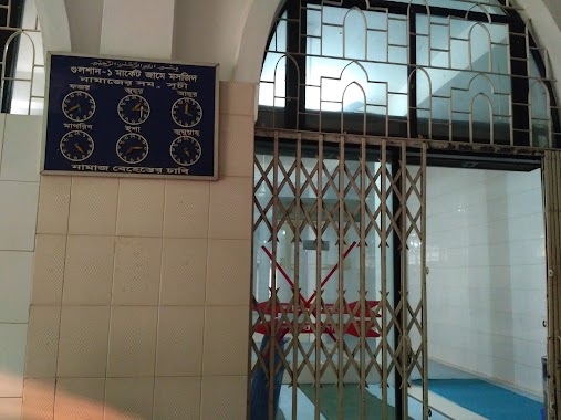
গুলশান - 1 মার্কেট জামে মসজিদ
9 Road 09, Dhaka
Mosque
read more
708 m
Gausul Azam Jame Mosjid
Bir Uttam AK Khandakar Road, Dhaka
Mosque
read more
806 m
DPDC Mosque
Dhaka
Mosque
read more
858 m
Mohakhali Central Jama Mohakhali.
74 Bir Uttam AK Khandakar Road, Dhaka
Mosque
read more
867 m
Mohakhali Central Jame Mosque
Dhaka
Mosque
read more
1.17 km
Mohakhali Nurani Jame Moshjid
Mohakhali School Road, Dhaka
Mosque
read more
1.184 km
Titumir College Mosque
Dhaka
Mosque
read more
1.228 km
Baitul Ijjat Jame Mosque
South Badda, Dhaka
Mosque
read more
1.282 km
Kanu Miar Pukur Par Jame Masjid
Middle Badda, Dhaka
Mosque
read more
1.323 km
korail Purbopara Koborsthan Jame Moshjid
Karail, Dhaka
Mosque
read more
1.442 km
Baytun Noor Jame Masjid
Badda
Mosque
read more
1.469 km
Badda Nur Mosjid
Uttar Badda, Dhaka
Mosque
read more
1.533 km
Madhya Badda Baitul Aman Jame Masjid
Badda
Mosque
read more
1.559 km
Masjid At-Taqwa
Banani, Dhaka., Road No 2, Dhaka
Mosque
read more
1.592 km
Khanbag jame Mosque
khanbag, Matabbar Rd, Dhaka
Mosque
read more
1.638 km
Amtoli Jame Mosque
Dhaka - Mymensingh Highway, Dhaka
Mosque
read more
1.648 km
Baitul Mokaddam Jame Masjid
Dhaka
Mosque
read more
1.679 km
Banani B.T.C.L Jame Mosque
19 No Ward, Dhaka
Mosque
read more
1.699 km
BWDB Jame Masjid
Gulshan
Mosque
read more
1.798 km
Mohakhali DOHS Mosque
Kafrul
Mosque
read more
1.89 km
Adarshanagar Jame Masjid
Dhaka
Mosque
read more
1.924 km
BTCL Jame Mosque
Road No-5, Dhaka
Mosque
read more
1.952 km
BAITUL ABEDIN JAME MASJID
Tekpara, Dhaka
Mosque
read more
📑
all categories
Accounting
Administrative area level 1
Administrative area level 2
Airport
Amusement park
Aquarium
Art gallery
Atm
Bakery
Bank
Bar
Beauty salon
Bicycle store
Book store
Bowling alley
Bus station
Cafe
Campground
Car dealer
Car rental
Car repair
Car wash
Casino
Cemetery
Church
City hall
Clothing store
Colloquial area
Convenience store
Country
Courthouse
Dentist
Department store
Doctor
Electrician
Electronics store
Embassy
Establishment
Finance
Fire station
Florist
Food
Funeral home
Furniture store
Gas station
General contractor
Grocery or supermarket
Gym
Hair care
Hardware store
Health
Hindu Temple
Home goods store
Hospital
Insurance agency
Jewelry store
Laundry
Lawyer
Library
Liquor store
Local government office
Locality
Locksmith
Lodging
Meal delivery
Meal takeaway
Mosque
Movie rental
Movie theater
Moving company
Museum
Natural feature
Neighborhood
Night club
Painter
Park
Parking
Pet store
Pharmacy
Physiotherapist
Plumber
Point of interest
Police
Post office
Premise
Real estate agency
Restaurant
Route
Rv park, camping
School
Shoe store
Shopping mall
Spa
Stadium
Storage
Store
Subpremise
Supermarket
Taxi stand
Train station
Transit station
Travel agency
University
Veterinary care
Zoo
administrative area level 3
sublocality level 1
↑