Mosque nearby Madhya Badda Baitul Aman Jame Masjid
Bangladesh
Mosque nearby Madhya Badda Baitul Aman Jame Masjid
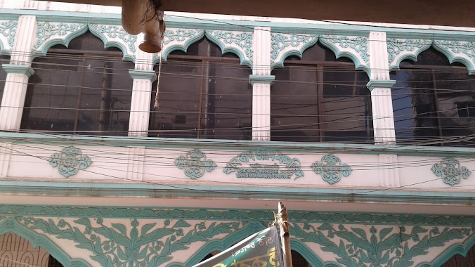
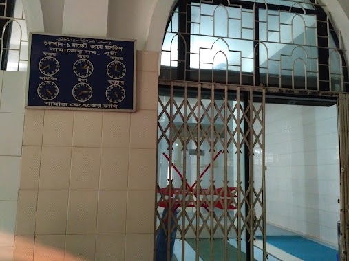
Madhya Badda Baitul Aman Jame Masjid
Bir Uttam Rafiqul Islam Avenue, 1212, Dhaka, Dhaka District, BD Bangladesch
contacts phone
:
+88
Latitude:
23.7800616
, Longitude:
90.4254246
larger map & directions
read more
nearest Mosque
97 m
Molla Para Baitul Gofur Jame Mosjid
Rustom Mollah Road, Mollahpara, Middle Badda, ঢাকা
Mosque
read more
190 m
Baytus Salah Jame Mosque
Bir Uttam AK Khandakar Road, Dhaka
Mosque
read more
215 m
Badda Puraton Paka Jame Mosque
Tekpara, Dhaka
Mosque
read more
264 m
Kanu Miar Pukur Par Jame Masjid
Middle Badda, Dhaka
Mosque
read more
288 m
Badda Alatunnessa School Road Jam e Masjid
Dhaka
Mosque
read more
340 m
Badda Nur Mosjid
Uttar Badda, Dhaka
Mosque
read more
350 m
Bait-us-Salaam Jame Masjid
Dhaka
Mosque
read more
354 m
Baitul Mokaddam Jame Masjid
Dhaka
Mosque
read more
369 m
Adarshanagar Jame Masjid
Dhaka
Mosque
read more
427 m
Baitul Ijjat Jame Mosque
South Badda, Dhaka
Mosque
read more
478 m
Baitul Mamur Jame Masjid
Ghudharaghat, Middle Badda, Dhaka
Mosque
read more
483 m
Baitul Mamur Jamia Masjid
Dhaka
Mosque
read more
515 m
BAITUL ABEDIN JAME MASJID
Tekpara, Dhaka
Mosque
read more
572 m
Baytun Noor Jame Masjid
Badda
Mosque
read more
591 m
Sekandar Bag Jame Masjid
Dhaka
Mosque
read more
607 m
Khanbag jame Mosque
khanbag, Matabbar Rd, Dhaka
Mosque
read more
702 m
South Badda Jame Masjid مسجد
Dhaka
Mosque
read more
705 m
Baitul Huda Jame Masjid
Dhaka
Mosque
read more
738 m
Borotek Jame Moshjid
Dhaka
Mosque
read more
802 m
DPDC Mosque
Dhaka
Mosque
read more
864 m
Joab Ali Jame Masjid
Dhaka
Mosque
read more
996 m
Abu Bakar Siddik Jame Mosque
Hasan Uddin Road, Misreetola, Dhaka
Mosque
read more
1.061 km
গুলশান - 1 মার্কেট জামে মসজিদ
9 Road 09, Dhaka
Mosque
read more
1.495 km
korail Purbopara Koborsthan Jame Moshjid
Karail, Dhaka
Mosque
read more
1.506 km
Eidgah Baitul Aman Jame Moshjid
Abdullahbag Road, Dhaka
Mosque
read more
📑
all categories
Accounting
Administrative area level 1
Administrative area level 2
Airport
Amusement park
Aquarium
Art gallery
Atm
Bakery
Bank
Bar
Beauty salon
Bicycle store
Book store
Bowling alley
Bus station
Cafe
Campground
Car dealer
Car rental
Car repair
Car wash
Casino
Cemetery
Church
City hall
Clothing store
Colloquial area
Convenience store
Country
Courthouse
Dentist
Department store
Doctor
Electrician
Electronics store
Embassy
Establishment
Finance
Fire station
Florist
Food
Funeral home
Furniture store
Gas station
General contractor
Grocery or supermarket
Gym
Hair care
Hardware store
Health
Hindu Temple
Home goods store
Hospital
Insurance agency
Jewelry store
Laundry
Lawyer
Library
Liquor store
Local government office
Locality
Locksmith
Lodging
Meal delivery
Meal takeaway
Mosque
Movie rental
Movie theater
Moving company
Museum
Natural feature
Neighborhood
Night club
Painter
Park
Parking
Pet store
Pharmacy
Physiotherapist
Plumber
Point of interest
Police
Post office
Premise
Real estate agency
Restaurant
Route
Rv park, camping
School
Shoe store
Shopping mall
Spa
Stadium
Storage
Store
Subpremise
Supermarket
Taxi stand
Train station
Transit station
Travel agency
University
Veterinary care
Zoo
administrative area level 3
sublocality level 1
↑