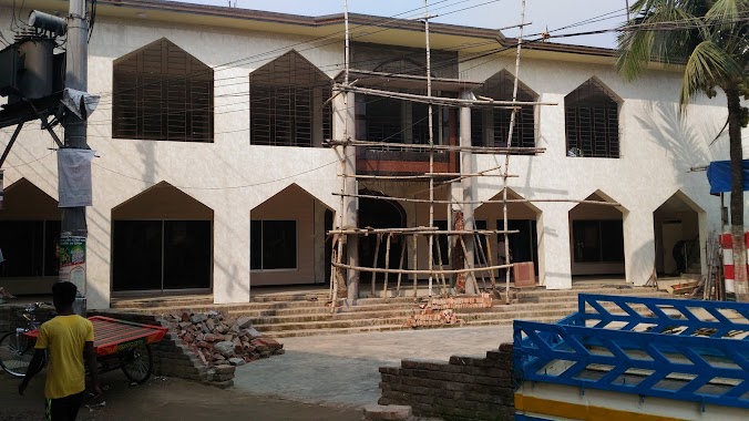
Mosque nearby Mosque
Bangladesh
Mosque nearby Mosque
Mosque
NoyaNogor, Turag, Dhaka 1230, Bangladesh
contacts phone
:
+88
Latitude:
23.8858487
, Longitude:
90.3742653
larger map & directions
read more
nearest Mosque
179 m
Lalchan Jame Mosque
Dhaka
Mosque
read more
233 m
Taqwa Mosque
ধউর, ব্লক- বি,তৃরাগ,, Road 7, Dhaka
Mosque
read more
326 m
Baytul Mamur Jame Masjid
3 No. Ward, Dhaowr, Sumnertek, Turag, NoyaNogor, Dhaka
Mosque
read more
341 m
Baitul Mamur Jame Mosque
Road 4, Dhaka
Mosque
read more
789 m
Rajabari Dakkhinpara Jame Mashjid
Thana Road, Dhaka
Mosque
read more
814 m
Dhour Uttarpara Mohammadia Jame Masjid
Dhour, Dhour main Road. Turag, Dhaka, Dhaka
Mosque
read more
868 m
Al-Forqan Kandreo Masjid & Madrasa
Dhour.Block-D.Turag., Road 2, Dhaka
Mosque
read more
1.618 km
Tin shed Mashjid
Wasa pump Near, Kamarpara
Mosque
read more
1.706 km
IUBAT Mosque
IUBAT, Dhaka
Mosque
read more
2.388 km
Jatrabari Jame Masjid
Road No 23, Dhaka
Mosque
read more
2.513 km
Baitul Mamur Mosque
Road -21, Dhaka
Mosque
read more
2.706 km
Ahalia Matir Masjid
Dhaka
Mosque
read more
2.922 km
Jannatul Ferdous Masjid
Dhaka
Mosque
read more
2.954 km
Masjid-e- Aliyah
Ahalia, Uttara, Dhaka, Ahalia Road, Dhaka
Mosque
read more
3.108 km
Israiel Mojumder Masjid
Dhaka
Mosque
read more
3.235 km
Dolipara Jame Masjid
Dhaka
Mosque
read more
3.643 km
Baitura Mercy Jame Masjid
Tongi
Mosque
read more
3.821 km
Jabal-E-Noor Jame Masjid
Tongi
Mosque
read more
4.153 km
এরশাদ নগর 2 ব্লক জামে মসজিদ
Tongi
Mosque
read more
4.57 km
Bawnia Bohumukhi Jame Mosque
Pabnartek Road, Dhaka
Mosque
read more
4.697 km
Baitul Falah Jame Mosjid
Baunia, Turag, Uttara, Dhaka
Mosque
read more
4.775 km
6 No Block Al-nurani Jame Masjid
6 No Block, টঙ্গী
Mosque
read more
4.999 km
Alboddirtek Jame Mosque
Dhaka
Mosque
read more
5.451 km
বায়তুস সালাম জামে মসজিদ
Dhaka
Mosque
read more
6.148 km
Hydarabad Gajarir Tek Noor e Madina Jame Masjid
Tongi - Ghorashal Hwy
Mosque
read more
📑
all categories
Accounting
Administrative area level 1
Administrative area level 2
Airport
Amusement park
Aquarium
Art gallery
Atm
Bakery
Bank
Bar
Beauty salon
Bicycle store
Book store
Bowling alley
Bus station
Cafe
Campground
Car dealer
Car rental
Car repair
Car wash
Casino
Cemetery
Church
City hall
Clothing store
Colloquial area
Convenience store
Country
Courthouse
Dentist
Department store
Doctor
Electrician
Electronics store
Embassy
Establishment
Finance
Fire station
Florist
Food
Funeral home
Furniture store
Gas station
General contractor
Grocery or supermarket
Gym
Hair care
Hardware store
Health
Hindu Temple
Home goods store
Hospital
Insurance agency
Jewelry store
Laundry
Lawyer
Library
Liquor store
Local government office
Locality
Locksmith
Lodging
Meal delivery
Meal takeaway
Mosque
Movie rental
Movie theater
Moving company
Museum
Natural feature
Neighborhood
Night club
Painter
Park
Parking
Pet store
Pharmacy
Physiotherapist
Plumber
Point of interest
Police
Post office
Premise
Real estate agency
Restaurant
Route
Rv park, camping
School
Shoe store
Shopping mall
Spa
Stadium
Storage
Store
Subpremise
Supermarket
Taxi stand
Train station
Transit station
Travel agency
University
Veterinary care
Zoo
administrative area level 3
sublocality level 1
↑