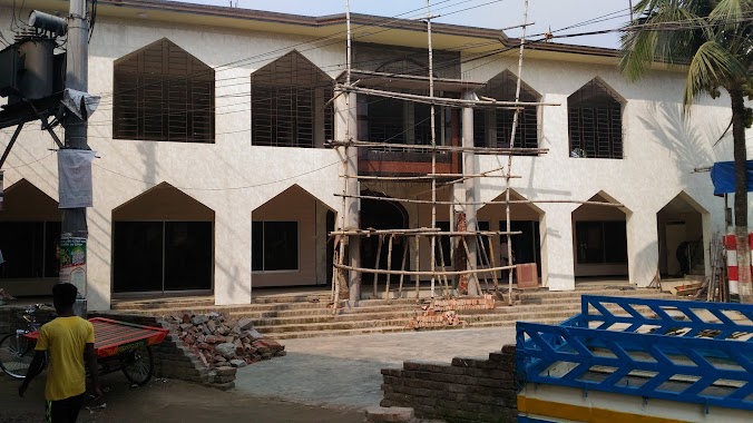
Mosque nearby Masjid-e- Aliyah
Bangladesh
Mosque nearby Masjid-e- Aliyah
Masjid-e- Aliyah
Ahalia Road, 1230, Dhaka, Dhaka District, BD Bangladesh
contacts phone
:
+880 1768-032106
website:
www.islamicfoundation.gov.bd
Latitude:
23.8612482
, Longitude:
90.385249
larger map & directions
read more
nearest Mosque
244 m
Jannatul Ferdous Masjid
Dhaka
Mosque
read more
251 m
Ahalia Matir Masjid
Dhaka
Mosque
read more
346 m
Israiel Mojumder Masjid
Dhaka
Mosque
read more
360 m
Dolipara Jame Masjid
Dhaka
Mosque
read more
483 m
Baitul Mamur Mosque
Road -21, Dhaka
Mosque
read more
578 m
Jatrabari Jame Masjid
Road No 23, Dhaka
Mosque
read more
1.081 km
Baunia Uttarpara Baitus Sharif Jame Mosjid
Uttarpara, Baunia, Turag, Dhaka
Mosque
read more
1.691 km
Bawnia Beri Badh Mosque
Dhaka
Mosque
read more
1.692 km
Bawnia Bohumukhi Jame Mosque
Pabnartek Road, Dhaka
Mosque
read more
1.788 km
Baitul Falah Jame Mosjid
Baunia, Turag, Uttara, Dhaka
Mosque
read more
1.93 km
Baunia Bazar Jame Mosjid
Baunia Bazar, Turag, ঢাকা
Mosque
read more
1.993 km
Baunia Dokkhin Porbo Para Jame Mosjid
Baunia Road, Dhaka
Mosque
read more
2.134 km
Alboddirtek Jame Mosque
Dhaka
Mosque
read more
2.382 km
Baigertek Siddikia Jame Mosque
Dhaka
Mosque
read more
2.531 km
Nama Baigertek Mosjid
Wetland, Dhaka
Mosque
read more
2.581 km
Porbot Nogor Jame Mosjid
Nazir Matabbar Road, Dhaka
Mosque
read more
2.777 km
Lalchan Jame Mosque
Dhaka
Mosque
read more
2.931 km
Baitul Mukaddas Jame Mosque
Dhaka
Mosque
read more
2.934 km
Baitul Mukaddas Jame Mosjid
Ajiz Market Road, Dhaka
Mosque
read more
2.954 km
Mosque
NoyaNogor, Turag, Dhaka
Mosque
read more
2.993 km
Choto Masjid
BAF Kurmitola Cantonment, Dhaka
Mosque
read more
3.019 km
Baytul Mamur Jame Masjid
3 No. Ward, Dhaowr, Sumnertek, Turag, NoyaNogor, Dhaka
Mosque
read more
3.043 km
IUBAT Mosque
IUBAT, Dhaka
Mosque
read more
3.06 km
Baitul Mamur Jame Mosque
Road 4, Dhaka
Mosque
read more
3.158 km
Taqwa Mosque
ধউর, ব্লক- বি,তৃরাগ,, Road 7, Dhaka
Mosque
read more
📑
all categories
Accounting
Administrative area level 1
Administrative area level 2
Airport
Amusement park
Aquarium
Art gallery
Atm
Bakery
Bank
Bar
Beauty salon
Bicycle store
Book store
Bowling alley
Bus station
Cafe
Campground
Car dealer
Car rental
Car repair
Car wash
Casino
Cemetery
Church
City hall
Clothing store
Colloquial area
Convenience store
Country
Courthouse
Dentist
Department store
Doctor
Electrician
Electronics store
Embassy
Establishment
Finance
Fire station
Florist
Food
Funeral home
Furniture store
Gas station
General contractor
Grocery or supermarket
Gym
Hair care
Hardware store
Health
Hindu Temple
Home goods store
Hospital
Insurance agency
Jewelry store
Laundry
Lawyer
Library
Liquor store
Local government office
Locality
Locksmith
Lodging
Meal delivery
Meal takeaway
Mosque
Movie rental
Movie theater
Moving company
Museum
Natural feature
Neighborhood
Night club
Painter
Park
Parking
Pet store
Pharmacy
Physiotherapist
Plumber
Point of interest
Police
Post office
Premise
Real estate agency
Restaurant
Route
Rv park, camping
School
Shoe store
Shopping mall
Spa
Stadium
Storage
Store
Subpremise
Supermarket
Taxi stand
Train station
Transit station
Travel agency
University
Veterinary care
Zoo
administrative area level 3
sublocality level 1
↑