Mosque nearby Baitur Rahim Jame Masjid
Bangladesh
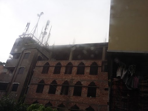
Mosque nearby Baitur Rahim Jame Masjid
Baitur Rahim Jame Masjid
1210, East Monipur Road, Dhaka, Dhaka District, BD Bangladesh
contacts phone
:
+88
Latitude:
23.8006626
, Longitude:
90.3695688
larger map & directions
read more
nearest Mosque
336 m
Amtola Jame Masjid
Dhaka
Mosque
read more
479 m
Monipur Jonokollyan Jame Masjid
Dhaka
Mosque
read more
524 m
Monipur Baitur Rowshon Jame Masjid
Middle Monipur, Dhaka
Mosque
read more
668 m
Senpara Eidgah
Dhaka
Mosque
read more
734 m
Baitul Aman Jame Masjid
East Monipur Road, Dhaka
Mosque
read more
757 m
Mirpur Model Thana Jame Masjid
Dhaka
Mosque
read more
766 m
Ishakia Jame Masjid
750 Kamal Soroni Road, Dhaka
Mosque
read more
774 m
Baitul Jannat BRTA Jame Masjid
Dhaka
Mosque
read more
825 m
মস্জিদর রহমান জামে মস্জিদ
East Kazipara, Dhaka
Mosque
read more
984 m
Jamia Arabia Khademul Islam Mashjid and Madrasa
Dhaka
Mosque
read more
1.063 km
BAITUL FALAH JAME MASJID
Shah Ali Bag, Dhaka
Mosque
read more
1.11 km
National Housing Authority Mosque
Road 1, Rd No 1, Dhaka
Mosque
read more
1.11 km
Baitur-Reja Jame Masjid
Road No. 5, Dhaka
Mosque
read more
1.176 km
Mirpur-13 Central Mosque
Road No 6, Dhaka
Mosque
read more
1.201 km
Mirpur Section 13 Central Masjid
13 Mirpur Road, Dhaka
Mosque
read more
1.219 km
Ahmadiya Muslim Mosque, Mirpur
Road No.3, Dhaka
Mosque
read more
1.23 km
National Housing Apartment Complex Namajghar
National Housing Apartment Complex, Dhaka
Mosque
read more
1.282 km
Habuler Pukurpar Mosque
184/3 Madrasa Road, Dhaka
Mosque
read more
1.404 km
Baishteki Central Jame Masjid
Dhaka
Mosque
read more
1.618 km
Baitul Falah Jame Moshjid
Bazaar Road, Dhaka
Mosque
read more
1.671 km
Misco Super Market Masjid
Dhaka
Mosque
read more
1.841 km
Masjid-e-Noor
Dhaka
Mosque
read more
1.927 km
Masjidul Huda Complex
Section 11, Dhaka
Mosque
read more
2.014 km
Natun Bazar Jame Masjid
SOS Clinic, Dhaka
Mosque
read more
2.508 km
Baitul Mamur Jame Masjid
West 1206, Vashantek Road, Dhaka
Mosque
read more
📑
all categories
Accounting
Administrative area level 1
Administrative area level 2
Airport
Amusement park
Aquarium
Art gallery
Atm
Bakery
Bank
Bar
Beauty salon
Bicycle store
Book store
Bowling alley
Bus station
Cafe
Campground
Car dealer
Car rental
Car repair
Car wash
Casino
Cemetery
Church
City hall
Clothing store
Colloquial area
Convenience store
Country
Courthouse
Dentist
Department store
Doctor
Electrician
Electronics store
Embassy
Establishment
Finance
Fire station
Florist
Food
Funeral home
Furniture store
Gas station
General contractor
Grocery or supermarket
Gym
Hair care
Hardware store
Health
Hindu Temple
Home goods store
Hospital
Insurance agency
Jewelry store
Laundry
Lawyer
Library
Liquor store
Local government office
Locality
Locksmith
Lodging
Meal delivery
Meal takeaway
Mosque
Movie rental
Movie theater
Moving company
Museum
Natural feature
Neighborhood
Night club
Painter
Park
Parking
Pet store
Pharmacy
Physiotherapist
Plumber
Point of interest
Police
Post office
Premise
Real estate agency
Restaurant
Route
Rv park, camping
School
Shoe store
Shopping mall
Spa
Stadium
Storage
Store
Subpremise
Supermarket
Taxi stand
Train station
Transit station
Travel agency
University
Veterinary care
Zoo
administrative area level 3
sublocality level 1
↑