


no info
🕗 opening times
| Monday | ⚠ | |||||
| Tuesday | ⚠ | |||||
| Wednesday | ⚠ | |||||
| Thursday | ⚠ | |||||
| Friday | ⚠ | |||||
| Saturday | ⚠ | |||||
| Sunday | ⚠ | |||||
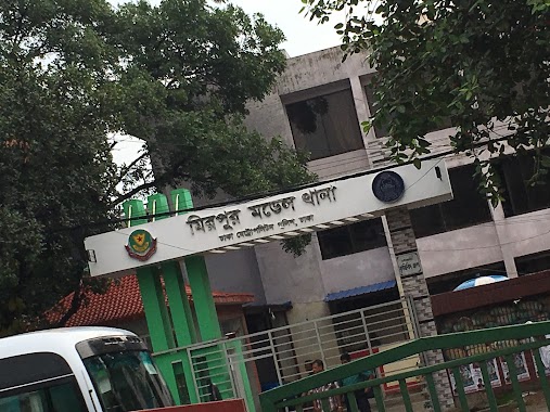
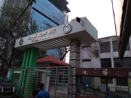
Mirpur Road, 1216, Dhaka, Dhaka District, BD Bangladesh
contacts phone: +880 2-9001001
website: dmp.gov.bd
larger map & directionsLatitude: 23.8043941, Longitude: 90.3630292


M. Moniruzzaman Moni
::Good model police station in Mirpur
Shafi Alam
::The zone it has covered that only for Mirpur but it's announced as a model police station due to its current location and facilities.
Mohammad Abubakkar Mollah
::This is a nice police station. Thx
Saiful Islam
::As usual service of a police station in the country. Not so much dedicated. But proper consolation for the local people. Mirpur Thana was established in 1962. The thana consists of one union porishod, eight wards, 11 mouzas and 86 and 20 villages. Police officer was very helpful & friendly.
Shihabur Rahman
::Mirpur is a thana of Dhaka city, Bangladesh. It is bounded by Pallabi Thana to the north, Mohammadpur Thana to the south, Kafrul to the east, and Savar Upazila to the west. Mirpur Thana was established in 1962. The thana consists of one union porishod, eight wards, 11 mouzas and 86 and 20 villages. Mirpur Thana (town) area was included in Keraniganj Thana during the British period (1757 to 1947) and in Tejgaon Thana during the Pakistan period (1947 to 1971). After the Liberation War following the victory day, Mirpur was independent on 31 January 1972.